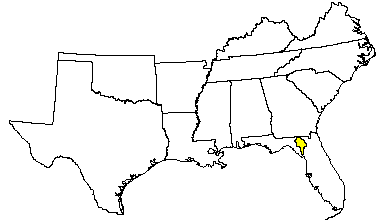
Land Use: Most of this area is in farms, but some large holdings are used exclusively for forestry. Pasture makes up about one-fourth of the area; the remainder is mainly cropland. Corn, peanuts, tobacco, soybeans, vegetables, and melons are major crops. Some hay and feed grains are grown for livestock. More than one-half of the area is forested. Pulpwood and lumber are the principal forest products.
Elevation and topography: Elevation ranges from 25 to 50 m. The sand-mantled limestone upland has an irregular, gently rolling topography. Many limestone sinks, some filled with water, dot the area. There are a few streams. Local relief is a few meters to about 10 m.
Climate: Average annual precipitation-1,300 to 1,400 mm. Maximum precipitation is in summer, and the minimum is in winter and late in autumn. Average annual temperature-20 to 21C. Average freeze- free period-280 to 290 days.
Water: The abundant rainfall and ground water are the principal sources of water. Shallow and deep wells provide water for domestic use, for livestock, and for irrigation. The many lakes and ponds are used for recreation.
Soil: The dominant soils are Udults and Psamments. They have a thermic temperature regime and an udic moisture regime. Well drained and somewhat poorly drained Paleudults (Blanton and Albany series) have thick sandy layers over a loamy subsoil. Excessively drained and moderately well drained Quartzipsamments (Alpin and Chipley series) are sandy throughout. Well drained, sandy Hapludalfs (Archer series), which have a clayey subsoil, and poorly drained sandy Haplaquods (Mascotte and Leon series), which have a weakly cemented layer, are less extensive.
Potential natural vegetation: This area supports open pine and oak forest vegetation. Longleaf pine and turkey oak are dominant trees. Several bluestem species, indiangrass, and several threeawn species are the dominant ground cover. Hairy panicum and many sedges are scattered throughout the area. Legumes and many annual forbs are in this area.
(From "Land Resource Regions and Major Land Resource Areas of the United
States". United States Department of Agriculture Soil Conservation Service
Handbook 296. Dec. 1981. page 99.)