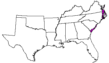
Land use: Most of this area is in farms, but some is in national forests or is used as game refuges, for urban developments, and for related purposes. About 70 percent of the area is in forests. Some are farm woodlots, but most are in large holdings. Pulpwood is the main wood product; lumber and naval products are other sources of income from forests. About 15 percent is cropland, and a very small acreage is pasture. There are large acreages of corn, soybeans, tobacco, and vegetables. Recreation enterprises are important, and coastal marshes make up 5 to 10 percent of the area.
Elevation and topography: Elevation ranges from sea level to less than 25 m. The Suffolk Scarp is the upper limit of this area. The nearly level coastal plain is crossed by many broad shallow valleys that have meandering stream channels. Most of these valleys terminate in estuaries along the coast. Local relief is mainly about 1 m or less.
Climate: Average annual precipitation-1,150 to 1,275 mm. Maximum precipitation is in summer, and the minimum is in autumn. Average annual temperature-13 to 24 C. Average freeze-free period- 200 to 300 days.
Water: Rainfall, perennial streams, and ground water provide an abundance of water. Water for domestic, municipal, and industrial uses is obtained mainly from wells. Many soils require artificial drainage before they can be used for crops, but during droughts irrigation is needed on some of the sandy soils.
Soils: The dominant soils are Aquults and Aqualfs. They have restricted drainage, a thermic temperature regime, an aquic moisture regime, and dominantly mixed mineralogy. Deep, medium textured to fine textured Ochraquults (Tomotley, Yemassee, and Wahee series), Umbraquults (Cape Fear and Portsmouth series), Ochraqualfs (Argent and Yonges series), and Albaqualfs (Meggett series) are extensive. Hapludults (Bertie and Tetotum series) are on higher sites where drainage is better but somewhat restricted. Other important soils are Haplaquods (Baratari and Rosedhu series) and Udipsamments (Wando, Newhan, Corolla, and Fripp series). Histosols occupy large areas in North Carolina and in the Dismal Swamp of Virginia.
Potential natural vegetation: Loblolly pine and some oaks are dominant on the uplands, and blackgum, sweetgum, oaks, water tupelo, and baldcypress are dominant on the bottom lands. Longleaf uniola, switchcane, panicums, little bluestem, inkberry, large gallberry, greenbrier, waxmyrtle, cabbage palm, and associated grasses and forbs characterize the understory vegetation.
(From "Land Resource Regions and Major Land Resource Areas of the United
States". United States Department of Agriculture Soil Conservation Service
Handbook 296. Dec. 1981. page 112 - 113.)